

Staff Reporter
Zimbabwe’s future over the next 10, 20 or even 50 years will be shaped by decisions being made today on how the country uses, protects and develops its land, water and natural resources.
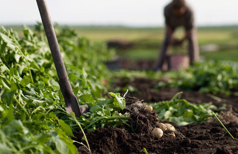
From the farms being cultivated and towns being planned to forests, wetlands and grazing areas being protected, every development leaves a lasting imprint on the country’s landscape. The Ministry of Lands and Rural Development is working therefore to ensure that today’s land-use decisions do not create tomorrow’s environmental, agricultural and settlement problems.
Zimbabwe has increasingly powerful tools to support this planning. Satellite imagery can help identify changes in land use and soil conditions, while Geographic Information Systems can guide the location of settlements, roads and other infrastructure away from flood-prone or environmentally sensitive areas. Technology can also improve monitoring of water resources, forests, grazing land and agricultural production.
But technology alone cannot determine the country’s future. Planning must also take into account climate change, population growth, food security and the need to preserve productive agricultural land as urban areas expand.
The emerging focus on secure land tenure and title deeds is another important part of this long-term picture. Government’s land tenure reforms seek to give farmers and homeowners stronger documentation of their interests in land, with title deeds providing formal evidence of registered ownership where applicable.
Under the National Development Strategy 2, Government has outlined plans to issue new tenure title deeds to an estimated 23 500 A2 farmers and 360 000 A1 farmers, alongside other categories including old resettlement and small-scale commercial farms. The strategy says stronger tenure security is intended to encourage farmers to invest in long-term infrastructure and improve agricultural productivity.
The title-deeds drive is also linked to the development of orderly human settlements. The Ministry of National Housing and Social Amenities says security of tenure for homeowners comes through title deeds, while Government is also pursuing regularisation of informal settlements and better planning of urban development.
This makes land registration more than a question of paperwork. Properly documented land rights can provide greater certainty for investment, inheritance and development, while accurate land records can help authorities understand who occupies particular parcels and how land is being used. The Ministry of Lands and Rural Development says it is responsible for maintaining a national land register, although much of the land data has historically been held in manual files and spreadsheets.
At the same time, secure tenure has to go hand in hand with responsible land-use planning. A title deed cannot by itself prevent a wetland from being destroyed, a river from being polluted or productive agricultural land from being unnecessarily converted into sprawling settlements.
Government has also recognised the need to contain urban expansion. The Ministry of National Housing has highlighted densification as part of its human-settlement strategy, including the reservation of 40 percent of developable residential land for cluster houses and high-rise apartments, with the stated aim of reducing urban sprawl and protecting agricultural land.
The decisions being made now will therefore determine whether Zimbabwe’s towns remain liveable, whether agriculture can continue feeding a growing population and whether future generations inherit functioning rivers, wetlands, forests and productive soils.
The question facing the country is not simply how much land is available, but how intelligently it is used.
How will agriculture adapt to a changing climate? How can towns grow without consuming valuable farmland? How can land rights be secured while ensuring that land remains productive and environmentally sustainable? And how can modern mapping and registration systems give planners a clearer picture of the country’s land resources?
These questions require long-term thinking.
Every road, settlement, farm, dam and industrial project becomes part of the Zimbabwe inherited by future generations. Better land records, title deeds, satellite technology, GIS mapping and environmental monitoring can provide the information needed to make better decisions, but those tools must be supported by sound planning and responsible land management.
The Zimbabwe of 2046 or 2076 is being shaped today. The lines being drawn on maps, the land being registered, the farms being developed and the natural resources being protected will collectively determine the country that future generations inherit.
The future is already being mapped, and the time to shape tomorrow’s ground is now.